
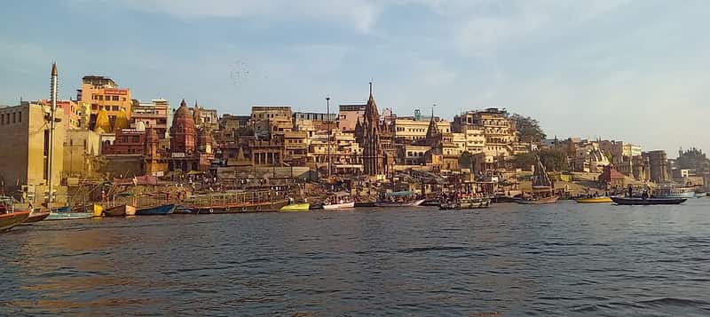
Aerial views reveal the stunning layout of Varanasi along the Ganges. Drone photography captures the ghats from unique perspectives impossible from ground level.
Key Takeaways
- Drone Regulations
Drone Regulations
Check current drone regulations before flying. Many areas near the ghats and temples may have flight restrictions. Always maintain line of sight and respect privacy.
Quick Tips
• Best time: Early morning • Duration: 1-2 hours • Entry: Most are free
Frequently Asked Questions
Was this article helpful?
Your feedback helps us improve
Enjoyed this article?
Get the latest Varanasi travel tips delivered to your inbox.
Related Articles
 Photography
 Night Photography at Varanasi Ghats: A Complete Guide
Camera settings, best spots, long exposure tips, and safety for night photography
Photography Photography Walk Through Old Varanasi: Capture the Soul of Kashi
Camera settings, best times, hidden spots, and etiquette for street photography
Photography Photography Tips for Ghats
The ghats offer endless photographic possibilities. Learn how to capture the morning rituals, evening aarti, and the timeless beauty of these sacred riverfront steps.